
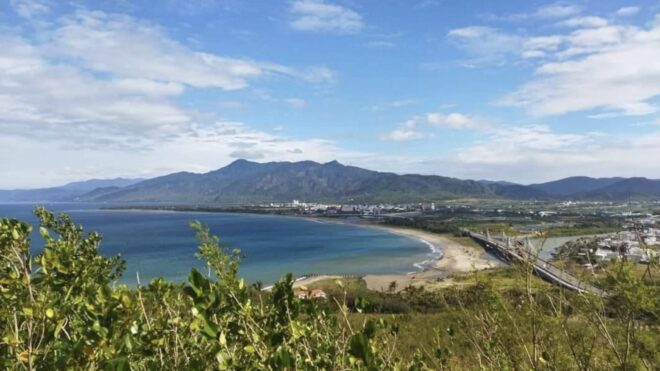
Guishan is located to the west of Sheliao Village and is a small hill with an elevation of only 72 meters. It is named for its shape, which resembles a sea turtle crawling up from the sea and attempting to turn back into the water.
The turtle’s tail appears at the Houwan coast, while its head extends towards the Sheliao shoreline. Over 50 years ago, the hill resembled a turtle. Unfortunately, the turtle’s head and tail have now separated from its body due to tectonic shifts.
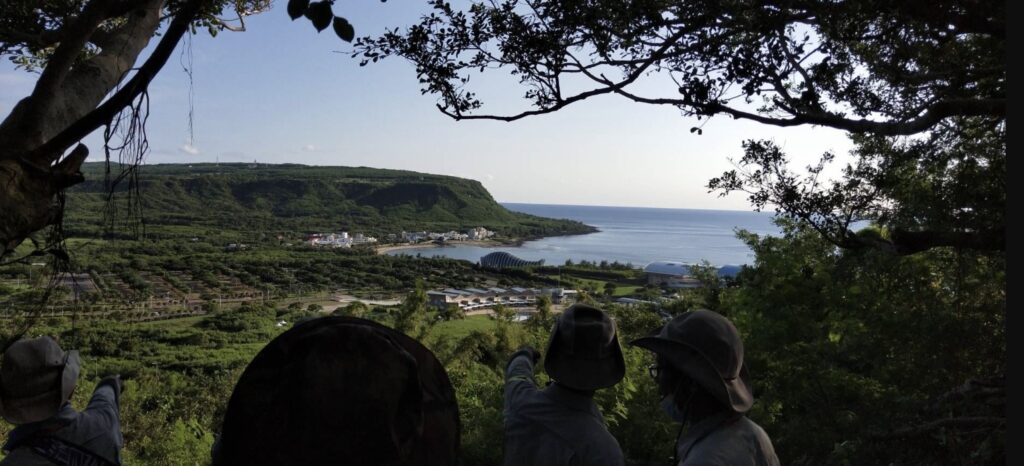
From the summit of Guishan, one can enjoy a panoramic view that not only captures the beautiful rural landscapes of the Checheng Township but also offers a mesmerizing vista of the azure sea.
This spot is the ideal location to observe the topographical features of the Sichong Creek and Baoli Creek estuaries. Both creeks flow into the Taiwan Strait, and during the dry season in winter, drifting sand forms sandbanks that close off the river mouths, making them appear like ‘sealed creeks.’
During the rainy season in summer, the increased river flow erodes the sandbanks, creating a spit-like landform. The landscape changes with each season, offering a diverse and intriguing experience.

Just ascend the Guishan Trail from Houwan Road in Checheng Township, and you’ll get a panoramic view of the National Museum of Marine Biology and Aquarium’s blue whale building, as well as the entire Houwan Village coastline.
You can take in both mountain and sea views, and you can also see the Checheng Fu’an Temple! The trail is about one kilometer long with an altitude of 72 meters. It’s a family-friendly path that’s easy to reach, but there are quite a few steps, so it might not be suitable for elderly individuals with mobility issues.

his place is actually quite easy to reach. First, navigate to “Guishan Trail” and then look out for the restroom with the owl sign below. There are parking spaces in front, so after using the restroom, you can easily find the entrance to the trail.
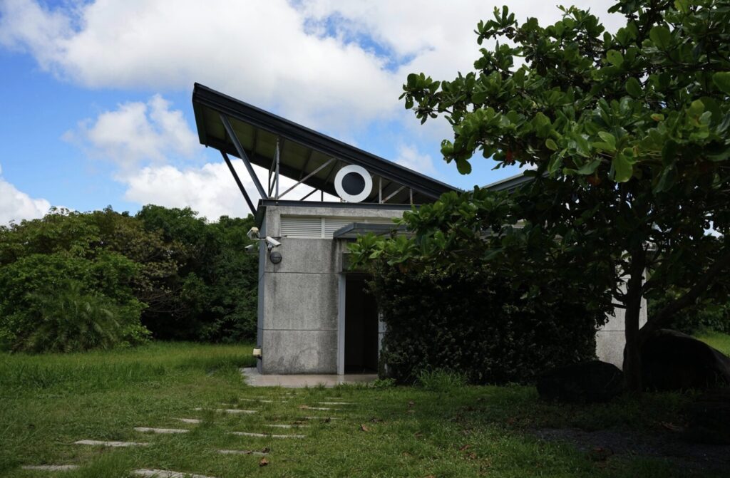
The Guishan Trail has a parking lot. After parking, visitors can cross the road and immediately see the entrance to the Guishan Trail. Next to the parking lot, there’s a “Guishan Public Restroom”. It’s recommended to use the restroom here before hiking up, as there are no restrooms on the trail itself.
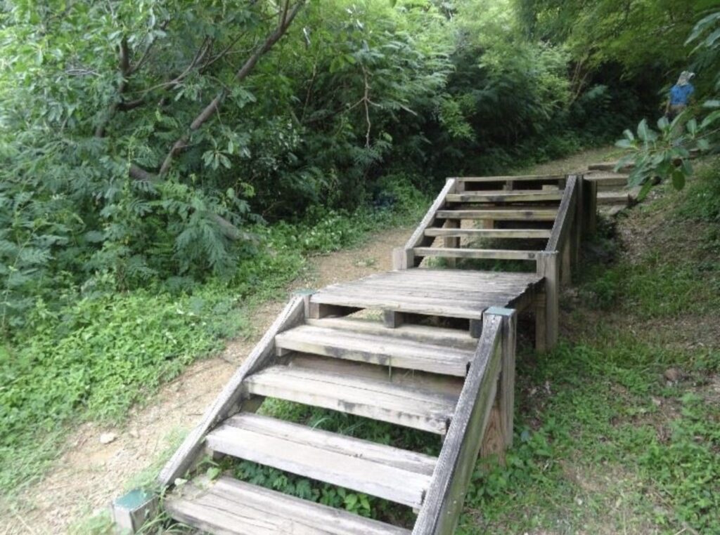
Upon entering the trailhead of the Guishan Trail, the initial section consists of a short wooden stairway. After walking for less than ten minutes, the trail becomes flat and easy to navigate. If you get tired, there are rest pavilions and benches set up along the sides for visitors to take breaks.
How to find Guishan Trail?
The entrance to the Guishan Trail is located next to Provincial Highway 153 in Pingtung. However, there aren’t any prominent landmarks nearby, so it’s recommended to use navigation directly, or while driving on highway, just look for this sign:
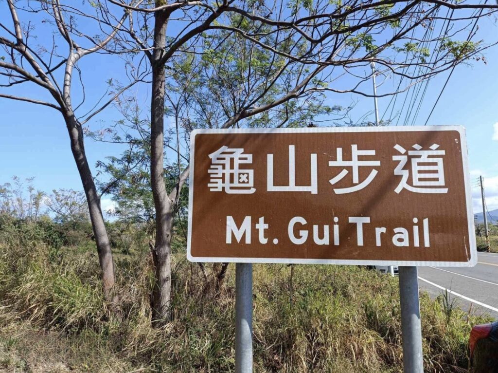
When you arrive at the Guishan Trail, you need to park your car on the side. To be honest, it’s quite easy to find parking in this area because this attraction is located in a more remote place. Firstly, there aren’t any major tourist spots nearby, and secondly, there’s less foot traffic.
It’s recommended to briefly check the map at the entrance. This trail follows a circular route, with the entire path being approximately 1 kilometer long. The initial part is uphill, and the return is downhill, without much variation in elevation. Given its consistent terrain and the fact that it’s only 72 meters high, it can be considered an easy trail. However, it’s still advisable to bring drinking water just in case.
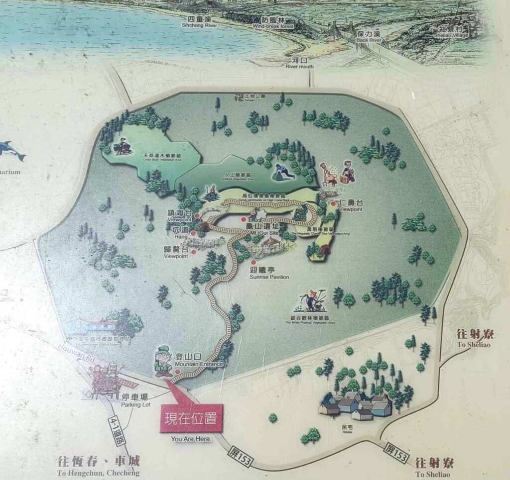
mt guishan trail map
The initial slope is extremely gentle, truly resembling walking on a flat road, while pp next, there are two sections of wooden plank staircases. Still, they can also be considered relatively effortless slopes.
It is said that precious prehistoric sites were once discovered here. Given its turtle-shell-like shape, it was named the “Guishan Trail.” Not only is the scenery beautiful, but it also has a touch of mystery.
(The Mudan Incident is described as follows: After the Mudan Incident, Japan sent troops to southern Taiwan, landing near Sheliao, right below Guishan, and established artillery positions and trenches on Guishan.)
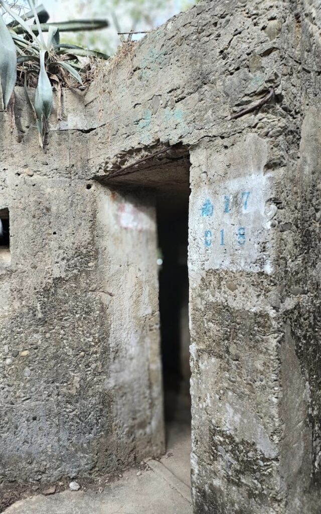
The signs on the Guishan Trail are really clear and easy to understand. The sign that I just saw points to the intersection entrance leading to the Yingxi Pavilion and the Trench Rest Area.
There are two viewing platforms built on the Guishan Trail, and this is one of them. From here, you can overlook the mountain and sea views of Checheng and Hengchun. It’s said that the sunset here is just as breathtaking as the one at Guanshan!

Guishan Trail, located near the renowned Marine Biology Aquarium in Checheng, offers a serene and easily accessible hiking experience with its gentle slopes and clear signages.
Despite its modest height of 72 meters, the trail provides panoramic views of Checheng, Hengchun, and the intertwining beauty of the sky and sea, all set against a backdrop of unique coral reef terrain. For those seeking a short yet rewarding hike with historical significance and breathtaking vistas, Guishan Trail is a must-visit gem in Kenting area.